Remote sensing of forests and wetlands
This website presents the research projects led by Dr. Marc Simard, Senior Research Scientist at NASA's Jet Propulsion Laboratory. His research focuses on inland and coastal areas.
What is remote sensing?
The science of obtaining information about objects from a distance, typically from aircraft or satellites.
Dr. Simard uses data from optical, radar & lidar instruments in his work.
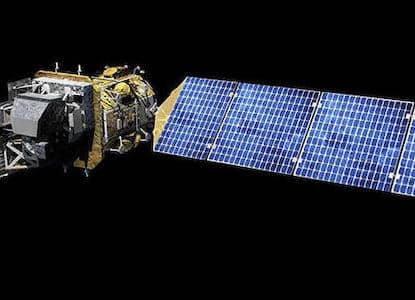 Landsat 8 (optical)
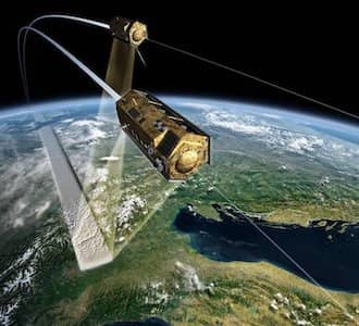 Tandem-X (radar)
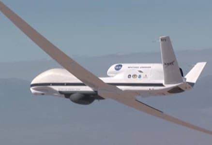 LVIS (lidar)
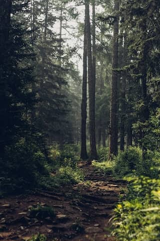
Inland: forests
Develop and use state of the art remote sensing techniques to measure forest vertical structure (height, biomass, productivity) and carbon stocks.
What are carbon stocks?
The amount of carbon stored (or stocked) in trees or in the ground.
When forests are lost, this carbon is released into the atmosphere.
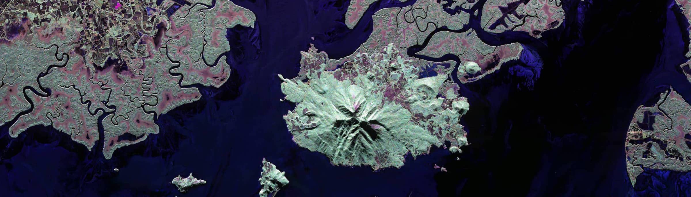
Coastal: deltas, mangroves, & salt marshes
Develop and use state of the art remote sensing techniques to measure vegetation structure in marshes and swamps, and characterize the hydrology and productivity of coastal regions.
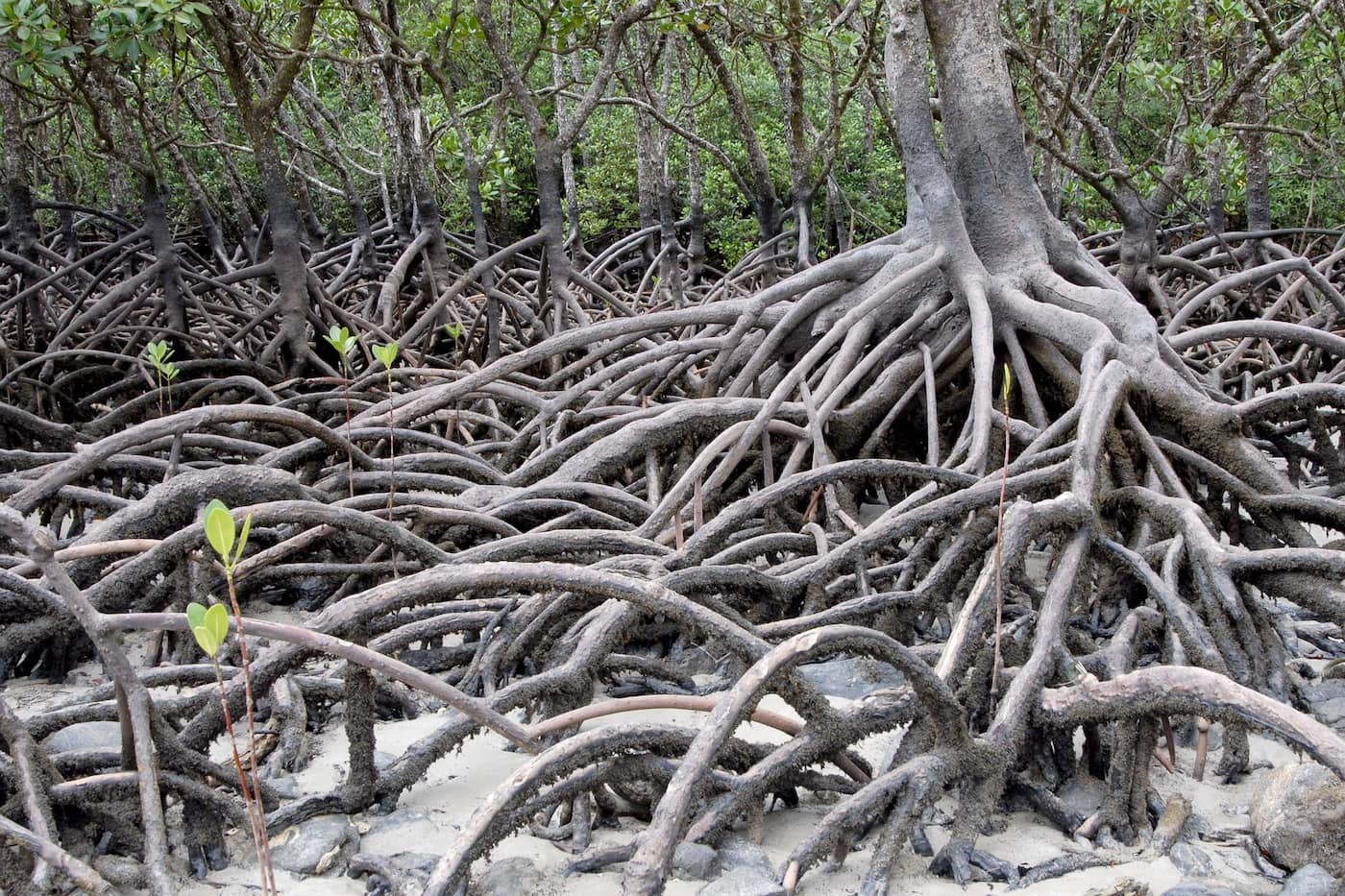
Mangroves are giants in Earth’s carbon cycle, capturing several times more carbon, per unit area, from the air than inland forests.