About
Generally, Dr. Simard studies the structure and productivity of forests and wetlands in coastal as well as inland regions using remote sensing.
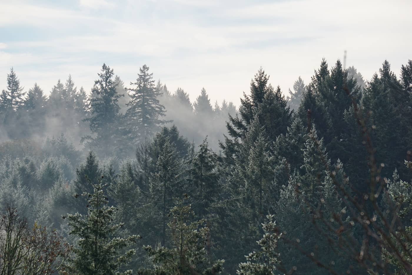
Inland: forests
Measuring the volume of forests and how much carbon they store, at local, regional and global scales.
Why are forests important?
- Deforestation accounts for 15–20% greenhouse gas emissions
- Forests play an important role in regulating climate, absorbing large amounts of carbon dioxide (C02) from the air (carbon sequestration) and storing that carbon in the trees and the ground (above- and below-ground carbon stocks).
- Forest habitats are filled with a variety of organisms and plants. They are a critical natural resource providing a multitude of ecosystem services. Therefore, it is critical to preserve and track changes in the forests.
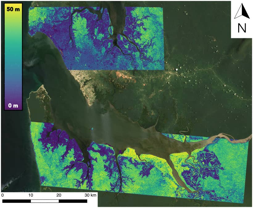
Map of tree heights in the Pongara and Akanda National Parks in Gabon, using airborne data from the UAVSAR and LVIS instruments. Measuring tree heights is important to help understand how much carbon is in the forest and see how forest growth, degradation, and deforestation impact the environment.
 The AfriSAR Mangrove team on a research boat in Pongara National Park, Gabon.
How do we measure the forests?
- Using airborne and spaceborne remote sensing with optical, radar & lidar instruments.
- In the field: measuring tree size and heights. Field measurements are used to calibrate and validate remote sensing estimates.
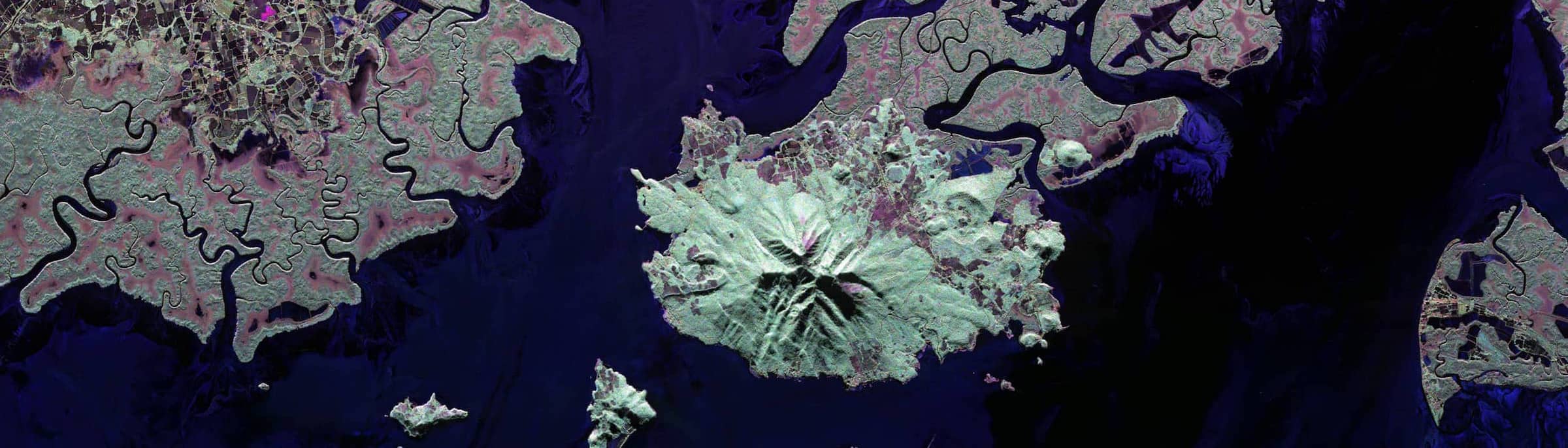
Coastal: deltas, mangroves, & salt marshes
Measuring vegetation and the flow of water in coastal areas.
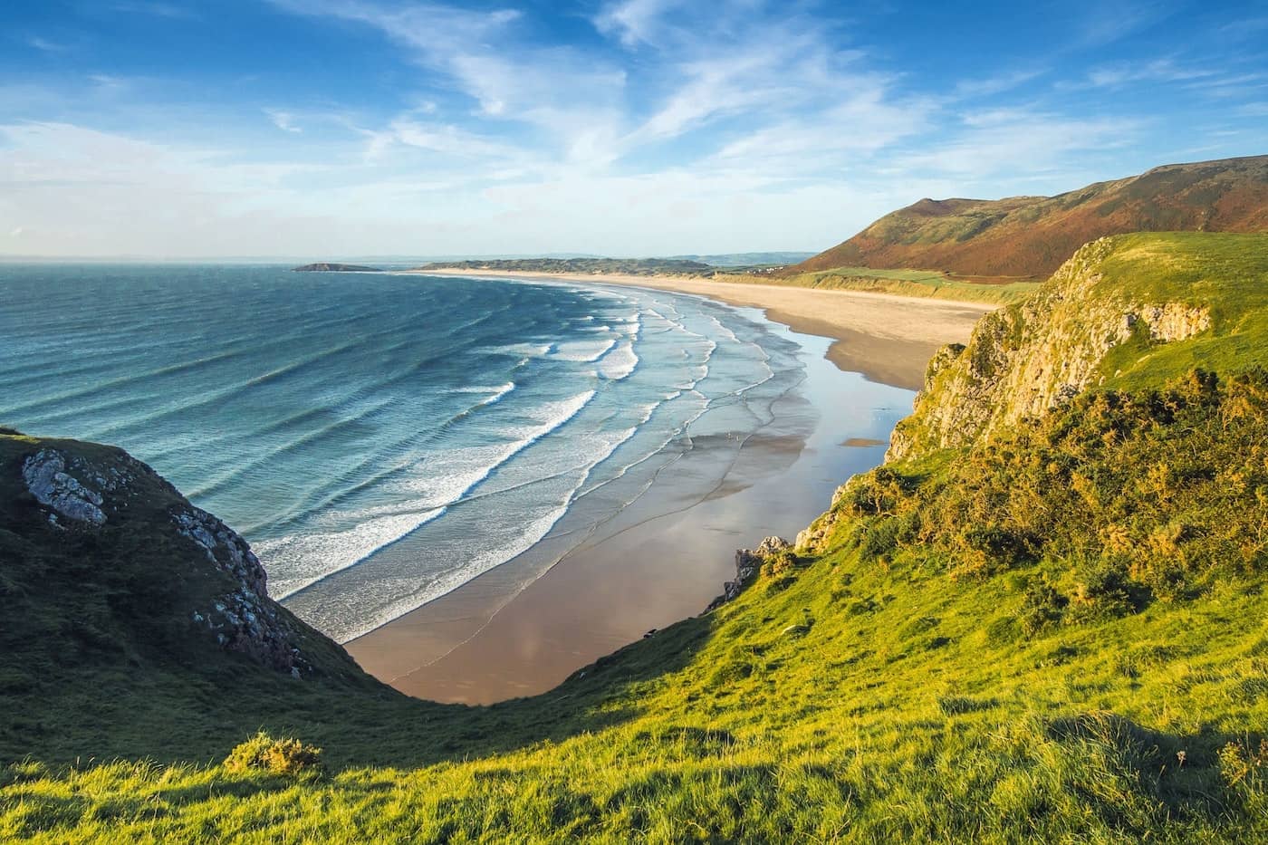
Why are coastal areas important?
- More than half a billion people live along the coast globally.
- These coastal marine environments provide habitat and nurseries for fish, crustaceans, birds and mammals.
- Vegetation along the coast provides protection against storm surges and tsunamis by dampening the waves.
- Mangroves are shrubs/trees that thrive in saline coastal environments. While they cover a limited geographical extent, they are giants in Earth’s carbon cycle. Every year, they capture several times more carbon, per unit area, from the air than inland forests.
The conversion of mangroves to aquaculture (farmed seafood) at the Mahakam delta, Kalimantan, Indonesia.
How do we measure the coastal areas?
- Using airborne and spaceborne remote sensing with optical, radar & lidar instruments.
- In the field: measuring coastal vegetation (mangroves) sizes and heights, and water levels changes. Field measurements are used to calibrate and validate remote sensing estimates.
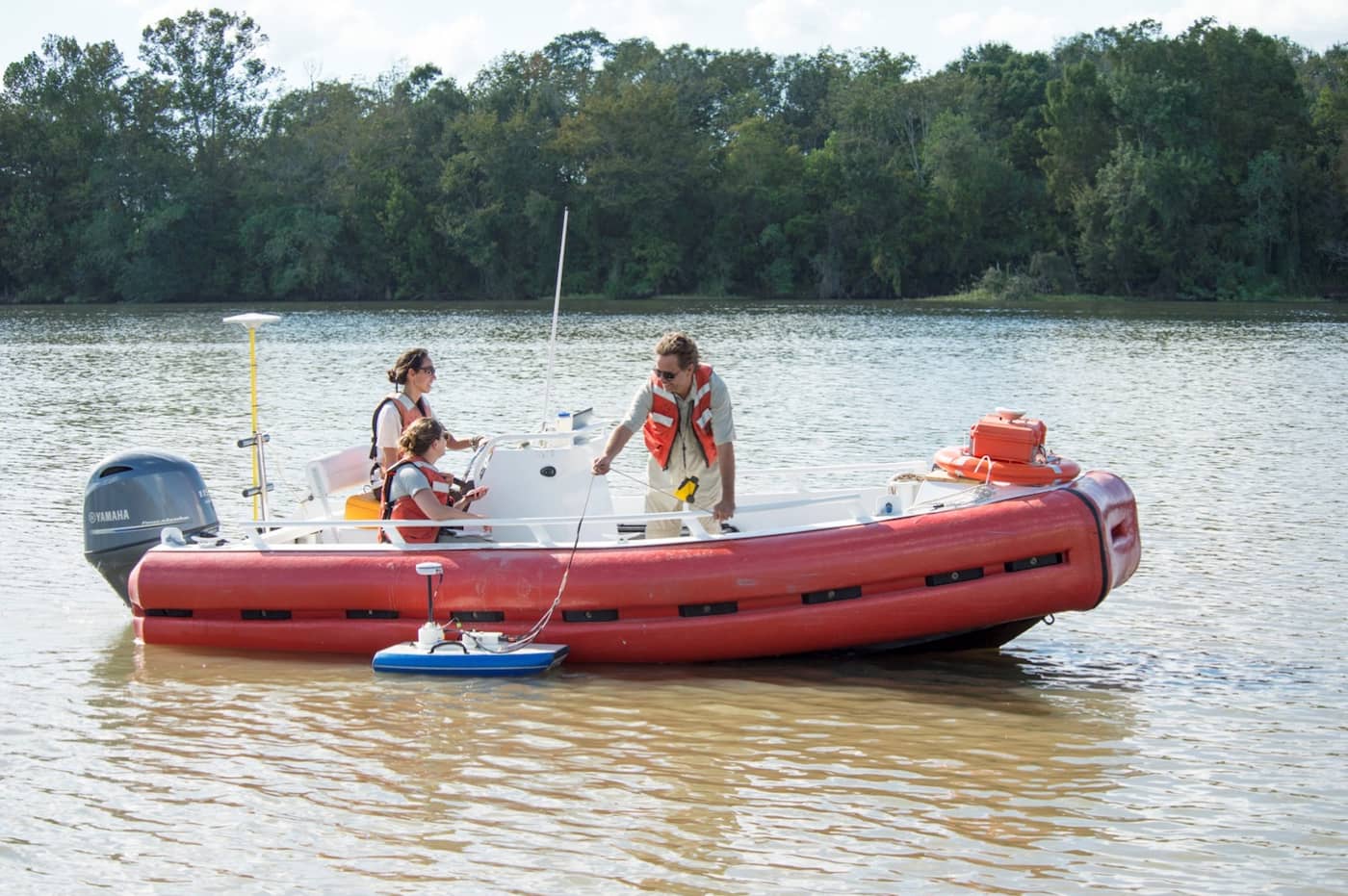
Scientists take water measurements in the field, using GPS, sonar, and more.
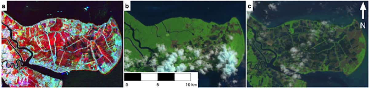
Delta-X
Dr. Simard is the principal investigator (PI) of the Delta-X mission (2019–2023). River deltas and their wetlands are drowning as a result of sea level rise and reduced sediment inputs. The Delta-X mission will determine which parts will survive and continue to grow, and which parts will be lost.
Delta-X will be taking measurements from the air and on the ground to look at water, vegetation, and sediment in the Mississippi River Delta (United States). Learn more at the Delta-X website.